Trent-Severn Waterway
The Trent-Severn Waterway is a 386-kilometre-long canal route in Ontario, connecting Lake Ontario at Trenton to Georgian Bay on Lake Huron at Port Severn. It is a National Historic Site of Canada and a linear park operated by Parks Canada, renowned as one of the world's finest interconnected navigation systems. The waterway traverses central Ontario's cottage country, including the Kawartha Lakes, Lake Simcoe, and the Muskoka region, making it a major tourist attraction for pleasure boating. It is open for navigation from May to October, drawing thousands of visitors annually to its scenic waters, historic locks, and surrounding communities.
Geography and engineering features
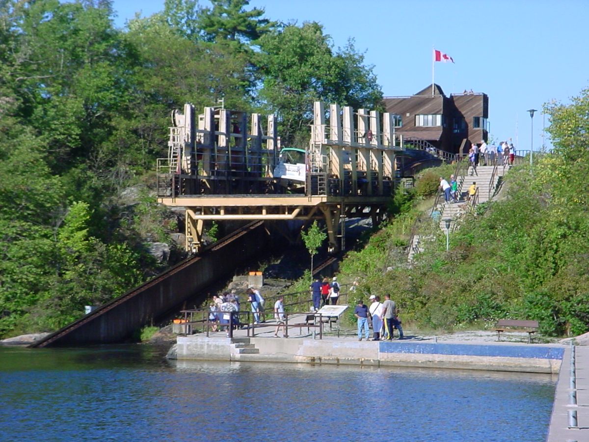
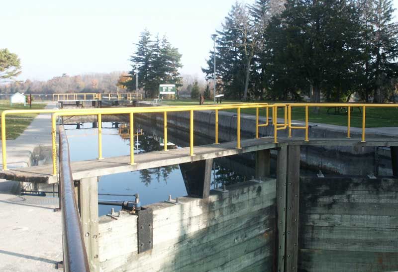
The Trent-Severn Waterway's 386-kilometre route incorporates both natural waterways and roughly 32 kilometres of man-made channels. Its path follows the Trent River, Otonabee River, Kawartha Lakes, Lake Simcoe, Lake Couchiching, and the Severn River. The system's 44 locks are a key engineering feature, designed to manage the significant elevation changes along the route. These include 37 conventional locks, two sets of flight locks where vessels ascend or descend multiple levels in sequence, and two unique hydraulic lift locks at Peterborough and Kirkfield. The waterway also features a marine railway at Big Chute, which physically transports boats in a cradle between the upper and lower sections of the Severn River, bypassing a formidable rapids.
Beyond locks, the waterway's infrastructure includes 39 swing bridges that allow road traffic to pass and 160 dams and control structures. This network manages water levels for navigation and flood control across a vast drainage basin of approximately 18,600 square kilometres in central Ontario. The system reaches its highest navigable point at Balsam Lake, which sits at an elevation of 256.3 metres above sea level. This summit represents the highest point a vessel can reach from sea level within the Great Lakes-Saint Lawrence River drainage basin. The navigation corridor encompasses over 4,500 kilometres of shoreline and more than 500 square kilometres of water surface, passing through four counties and three single-tier cities.
Parks Canada manages the waterway under the Historic Canals Regulations, overseeing navigation, resource protection, and the operation of facilities. The agency also holds regulatory authority under the Dominion Water Power Act for 18 hydroelectric generating facilities located along the route. The waterway's extensive shoreline is abutted by more than 125,000 private and commercial properties, highlighting its integration into the regional landscape and economy. The careful management of this complex system ensures its continued operation as both a recreational destination and a vital piece of water management infrastructure.
Early history and military origins
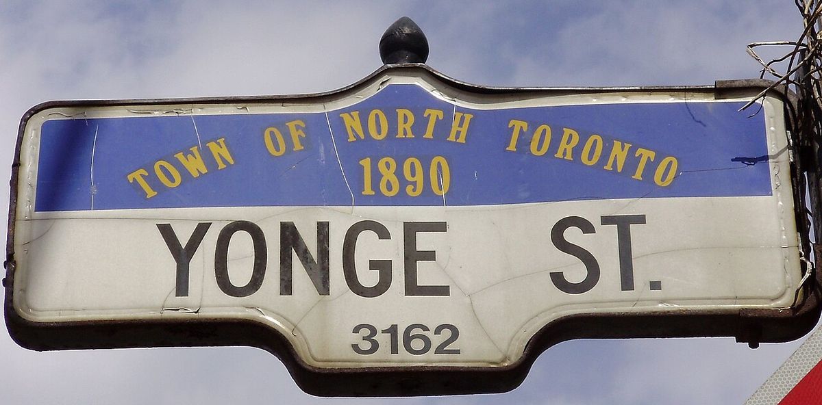
The network of lakes and rivers that would become the Trent-Severn Waterway was first travelled by a European when Samuel de Champlain journeyed with the Hurons from Georgian Bay to the Bay of Quinte in 1615. Discussions about a formal communication route from Lake Ontario to Lake Huron began as early as 1785. The strategic need for such a route gained urgency with the outbreak of the War of the First Coalition in 1793, due to fears that the United States might ally with France and block British access to the upper Great Lakes. In response, Lieutenant-Governor John Graves Simcoe initiated the construction of Yonge Street and the Penetanguishene Road starting in 1794 to create an overland portage route to Georgian Bay via Lake Simcoe.
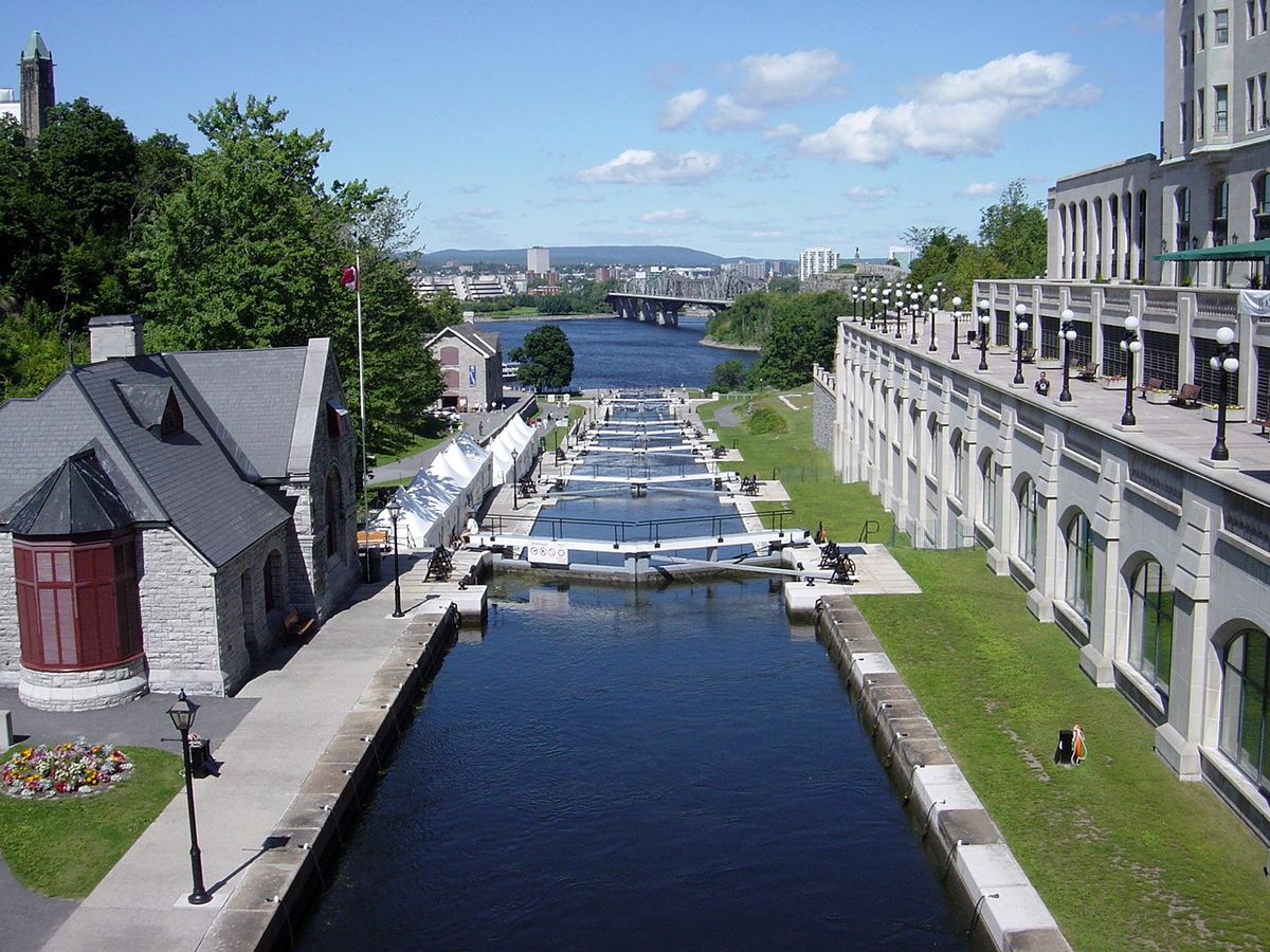
The War of 1812 demonstrated the limitations of the rough overland route, leading to renewed calls for a secure inland waterway for military purposes. This period saw the construction of other canals like the Rideau Canal, designed to bypass hazards on the Saint Lawrence River. Several surveys for a Trent River route were conducted between 1815 and 1827. A key survey by Nicol Hugh Baird in 1833 estimated the cost of making the Trent River navigable to Rice Lake at $1,167,236, requiring 34 locks and 17 dams. However, the high cost, compounded by the already expensive Rideau Canal project, dampened government enthusiasm. Local fundraising attempts, including a proposed lottery, failed to advance the project.
Commercial beginnings and Bethune's lock
While government plans stalled, local businessman James Gray Bethune of Cobourg pursued a commercial venture. He launched the steamer Pemedash on Rice Lake in 1832 to connect Peterborough and Cobourg, followed by the Sturgeon in 1833. To improve navigation on the inland Kawartha Lakes, known then as the Back Lakes, Bethune's group contracted for the construction of a lock at Bobcaygeon in August 1833. The lock builders, Pierce, Dumble and Hoar, continued work even after Bethune's financial insolvency in 1834. The completed lock, however, was set too high in the limestone bedrock and leaked severely, rendering it useless for four years. Despite this setback, Bethune's early steamers proved popular, with the Sturgeon making 61 trips in its first partial season.
Local politics significantly influenced early development, as the proposed route passed through Durham and Northumberland counties. Rival schemes emerged, including the Port Hope Canal Company and the Cobourg and Rice Lake Railway, each championed by different legislators. To counter the Trent route, legislator George Strange Boulton successfully pushed for a full survey of the river by Nicol Hugh Baird in 1833, hoping its high cost would favour his railway. Baird's detailed report did outline a high price tag, but it also argued the canal would pay for itself through tolls, particularly from timber shipments estimated at $30,000 annually.
Intermittent construction and political delays
Interest in the waterway was renewed after Lieutenant Governor Sir John Colborne toured the region in 1835 and expressed his delight with the route. This led to a petition and a new survey by Baird for a western extension connecting to Lake Simcoe. Baird also suggested an innovative, cheaper alternative using a mix of water and rail transit with specialized barges, similar to modern containerized shipping. However, political opposition, particularly from supporters of the financially struggling Welland Canal, blocked further government backing for the western link.
As an interim measure to appease public support, the government's Inland Water Commission proposed building four new locks in March 1836 at a cost of $80,000. This plan, approved on 28 November 1836, aimed to open 170 square miles of waterways for continuous navigation. The locks were to be built at Bobcaygeon (to replace the faulty one), Purdy's Mills (Lindsay), Whitla's Rapids in Peterborough, and Hastings on the Trent River. The commission noted this would allow iron ore from Marmora to be shipped west. Construction began, but was interrupted by the Upper Canada Rebellion of 1837. The subsequent political reforms and the merger into the Province of Canada transferred canal oversight to a new Board of Works, where regional divisions often stalled decisions.
Completion and transition to tourism
Construction on the waterway remained sporadic for decades, often used as a political tool to garner votes. Serious work resumed under Prime Minister Wilfrid Laurier's government near the turn of the 20th century. The canal reached Peterborough and Lake Simcoe by 1904. The final push was greatly delayed by World War I. The link to Trenton on Lake Ontario opened in 1918, followed by the connection to Georgian Bay at Port Severn in early 1920. The first complete transit of the entire Trent-Severn Waterway was made in July 1920. By the time of its completion, the waterway's commercial utility had largely passed, as Great Lakes ships had outgrown its capacity and railways had captured most freight traffic.
The introduction and popularization of motorboats perfectly positioned the Trent-Severn as a premier pleasure boating route. It evolved into one of Ontario's major tourist attractions, drawing visitors to the cottage regions of Muskoka and the Kawarthas. The waterway also forms a significant portion of the Great Loop, a circumnavigation route of eastern North America. Today, it is managed as a linear park and National Historic Site by Parks Canada, with its shore lands and bridges accessible year-round. The waterway's operational season runs from May to October, during which boaters can transit its historic locks and experience its scenic beauty.
Notable engineering structures
The Trent-Severn Waterway is celebrated for its innovative engineering, which includes several unique structures beyond conventional locks. The most famous are the two hydraulic lift locks, which use the principle of balanced water-filled caissons to raise and lower boats with minimal energy. These structures remain operational and are major visitor attractions. Another remarkable feature is the Big Chute Marine Railway, located on the Severn River. This engineering solution transports boats in a large cradle along a rail track, bypassing a set of impassable rapids and a waterfall. The marine railway effectively functions as an inclined plane, carrying boats between the upper and lower water levels. Other key structures include the two sets of flight locks, where boats pass through multiple consecutive locks in a short distance. The waterway's extensive network of 160 dams and control structures is crucial for managing the complex hydrology of the interconnected lakes and rivers, ensuring stable water levels for navigation and neighbouring properties.
- Big Chute Marine Railway: Transports boats on a rail cradle.
- Flight Locks: Two sets of consecutive locks (at Healey Falls and elsewhere).
- Bobcaygeon Lock: Site of the first lock attempt (1833).
- 44 Total Locks: Including 37 conventional locks.
Recreation and cultural significance
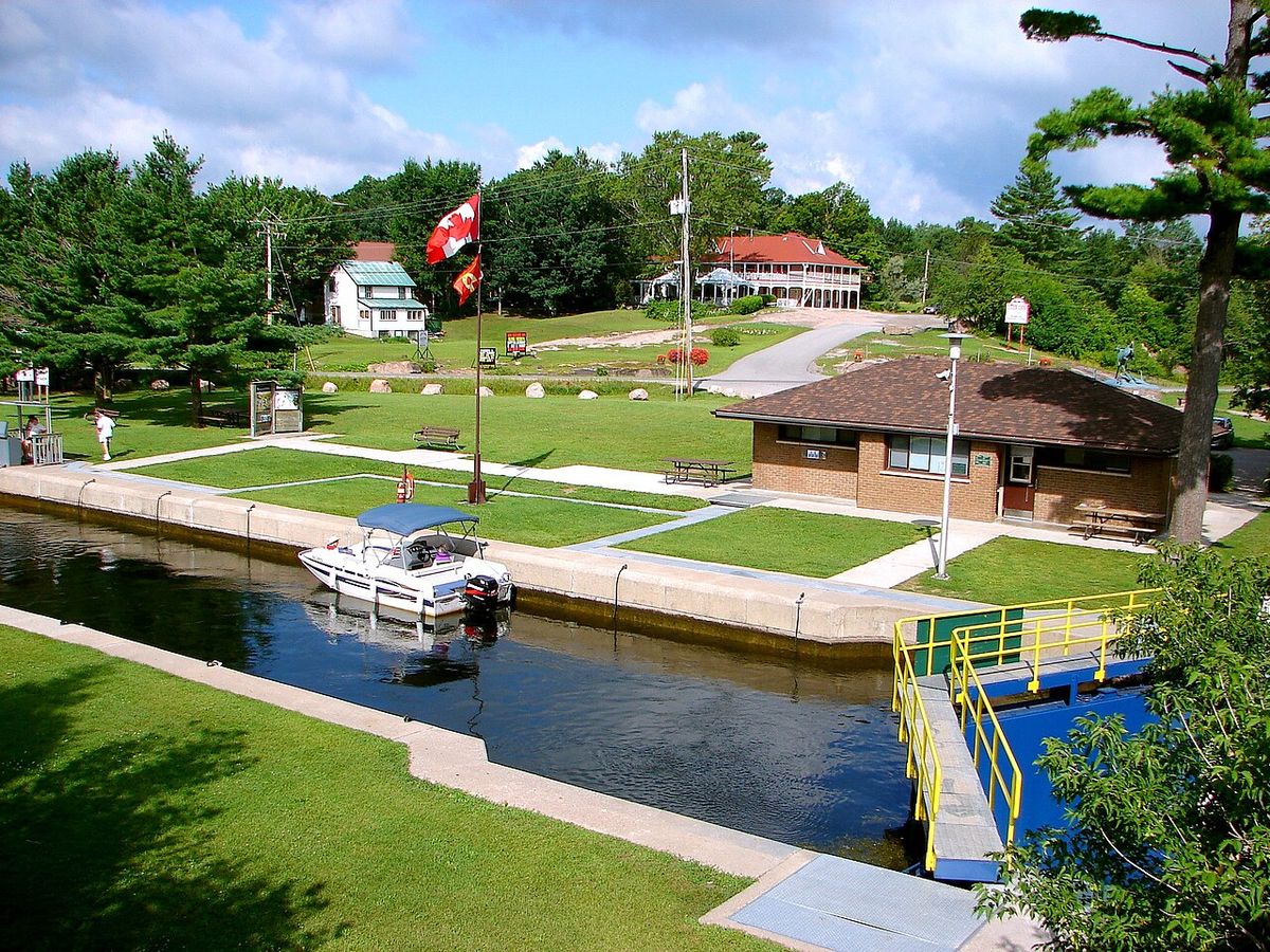
The Trent-Severn Waterway is a central feature of recreational boating in Ontario, offering a diverse and scenic route through heartland cottage country. Boaters can begin multi-day journeys, stopping at numerous towns, parks, and Parks Canada-operated lockstations, many of which offer docking, washrooms, and picnic areas. The waterway's passage through regions like the Kawarthas and Muskoka provides access to thousands of islands, sheltered bays, and active communities such as Orillia, Fenelon Falls, and Bobcaygeon. Fishing, swimming, and wildlife viewing are popular activities along its extensive shoreline. The system also supports a range of paddling opportunities for canoes and kayaks on its quieter stretches.
Culturally, the waterway is a living record of over a century of Canadian engineering and persistence. Its history reflects the economic ambitions and political complexities of 19th and early 20th century Ontario. The waterway has inspired artists, writers, and musicians, becoming a well-known symbol of Ontario's summer landscape. It is economically important for the local economies of the communities it connects, supporting marinas, restaurants, shops, and accommodation providers. As a National Historic Site, it preserves and interprets this heritage for visitors, ensuring the stories of its construction and evolution remain part of the national narrative. The waterway's integration into the Great Loop also connects it to a broader North American cruising culture.
Questions about Trent-Severn Waterway
How long does it take to travel the entire Trent-Severn Waterway?
The time required to travel the entire 386-kilometre length of the Trent-Severn Waterway varies significantly based on the type of vessel, weather, and how often one stops. A powerboat travelling steadily might complete the transit in about a week, while slower sailboats or vessels that linger to explore communities and attractions can take two weeks or more. The operating schedule of the 44 locks must also be factored in, as transit times can be affected by waiting for lockages, especially during peak summer periods. Many boaters choose to travel only sections of the waterway, making it a destination for trips of any duration.
What are the most famous locks on the Trent-Severn Waterway?
The most famous locks are the two hydraulic lift locks at Peterborough and Kirkfield, which are unique engineering marvels. The Kirkfield Lift Lock operates on the same principle. Another famous structure is the Big Chute Marine Railway, which transports boats on a rail cradle between water levels on the Severn River. The flight locks, where boats pass through multiple locks in quick succession, are also notable features for boaters.
Can you access the Trent-Severn Waterway without a boat?
Yes, the Trent-Severn Waterway is accessible year-round for those without boats. Parks Canada lockstations are open to the public, and watching the lock operations, especially at the Peterborough or Kirkfield Lift Locks, is a popular activity. Many towns along the route, such as Bobcaygeon, Fenelon Falls, and Orillia, have waterfront parks, museums, and trails that offer excellent views of the canals and locks. Hiking, cycling, and driving along the associated roadways provide numerous opportunities to experience the waterway's scenery and engineering. During the winter, some areas are used for snowshoeing and ice fishing.
When did the Trent-Severn Waterway officially open?
The Trent-Severn Waterway was completed in stages over many decades. The final sections were delayed by World War I. The link from the inland system to Lake Ontario at Trenton opened in 1918, and the connection to Georgian Bay at Port Severn was finished in early 1920. The first complete transit of the entire waterway from one end to the other was made in July 1920. While individual locks and sections were operational much earlier, 1920 marks the year the waterway became a fully navigable continuous route as originally envisioned.
Why was the Trent-Severn Waterway originally built?
The waterway was initially conceived for military strategy in the late 18th century, to provide a secure inland route from Lake Ontario to Lake Huron that would be safe from American interference. The first lock at Bobcaygeon in 1833, however, was built as a private commercial venture to develop the inland Kawartha Lakes region for steamship traffic and resource transport. Government involvement was intermittent and politically motivated for much of the 19th century. By the time it was finally completed in 1920, its original commercial and military purposes had become obsolete, but it found a new life as a recreational boating route.
Who manages the Trent-Severn Waterway today?
The Trent-Severn Waterway is managed by Parks Canada as a National Historic Site of Canada and a linear park. Parks Canada operates under the statutory authority of the Historic Canals Regulations, which govern navigation, resource protection, dredging, and the operation of facilities like boater campgrounds. The agency is also responsible for the 18 hydroelectric generating facilities along the route under the Dominion Water Power Act. Parks Canada maintains the locks, bridges, dams, and control structures, and oversees the waterway's operation from May to October each year.
Sources and further reading
- Trent-Severn Waterway (Wikipedia)
- Discover the Trent-Severn Waterway in Peterborough (ptbotourism.ca)
- Activities and experiences, Trent-Severn Waterway ... (parks.canada.ca)
- Best Locations to visit on the Trent Severn Waterway (rawleyresort.com)
- Trent-Severn Waterway (gbtownship.ca)
Checked by the Novello Desserts desk. Last updated 2026-10-31.